Mount Batur
Description
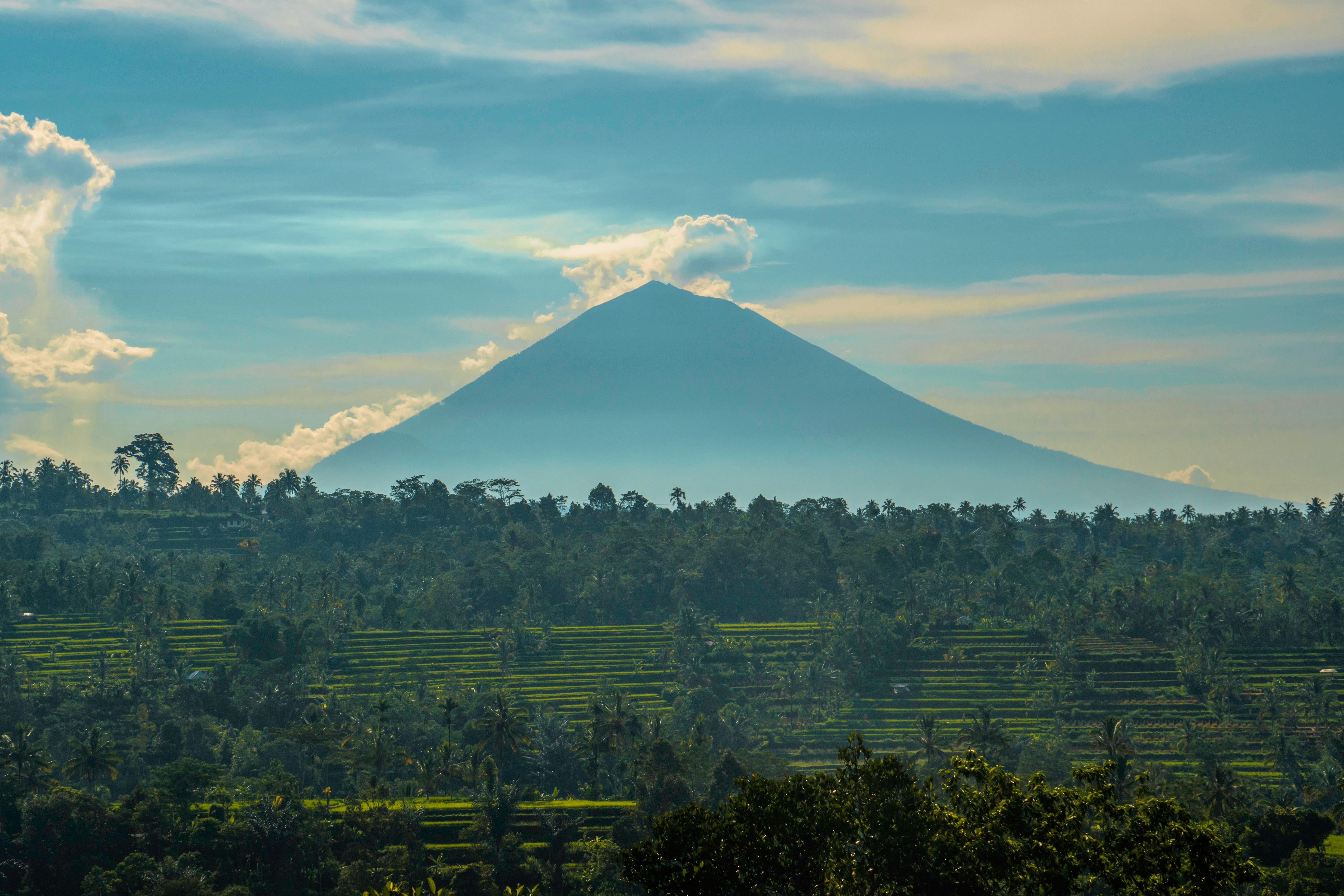
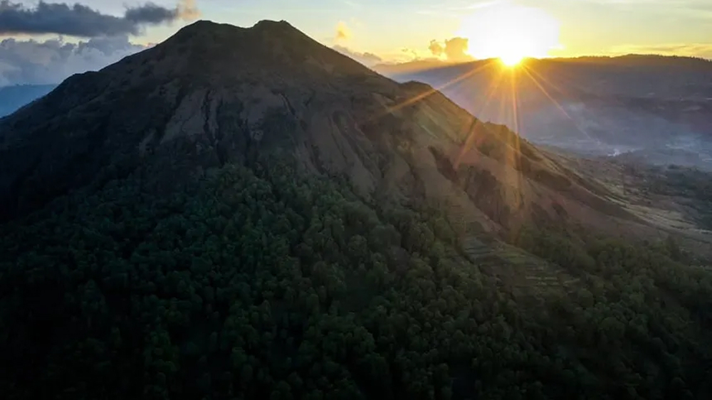
Mount Batur is an active volcano located in the central highlands of Bali. Standing at 1,717 meters above sea level, it's one of Bali's most popular trekking destinations, especially for sunrise hikes.
The trek to the summit typically starts at 3:30 AM and takes about 2 hours. Hikers are rewarded with breathtaking sunrise views over Lake Batur and the surrounding mountains. On clear days, you can see Mount Agung and Mount Rinjani in Lombok.
The area around Mount Batur is geothermally active, with natural hot springs at Toya Devasya where visitors can relax after the challenging hike. The volcano last erupted in 2000, and its crater lake is considered sacred by the Balinese.
Location
Click and drag to explore the map. The marker shows the exact location of Mount Batur.
Coordinates: -8.2422, 115.3758
Photo Gallery